


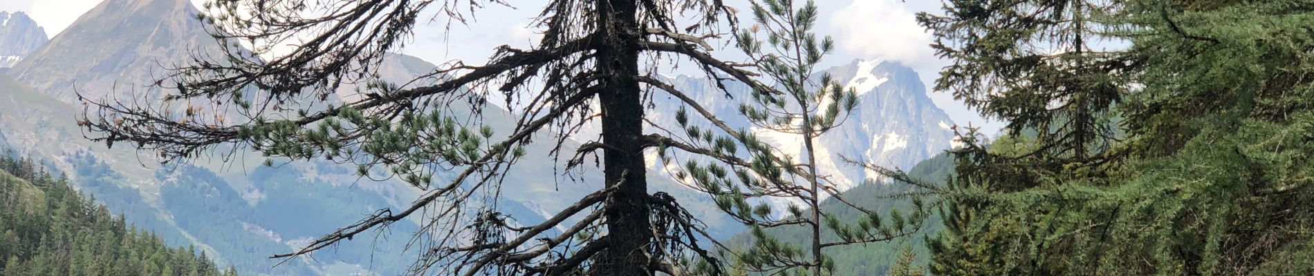
Cascade du Ruitor La Thuile

francineposkin
User
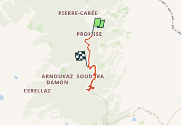

Length
4.9 km

Max alt
1731 m

Uphill gradient
251 m
Km-Effort
7.9 km

Min alt
1513 m

Downhill gradient
158 m
Boucle
No
Creation date :
2024-08-31 12:21:23.0
Updated on :
2024-08-31 14:12:17.457
1h50
Difficulty : Medium

FREE GPS app for hiking
 SityTrail
IGN / Geographical institutes
SityTrail Plus
The world is yours!
About
Trail Walking of 4.9 km to be discovered at Aosta Valley, Unknown, La Thuile. This trail is proposed by francineposkin.
Photos


Positioning
Country:
Italy
Region :
Aosta Valley
Department/Province :
Unknown
Municipality :
La Thuile
Location:
Unknown
Start:(Dec)
Start:(UTM)
341318 ; 5062470 (32T) N.
Comments